At a Glance
- Many major river deltas are subsiding at 4 mm per year, outpacing sea level rise
- 236 million residents face heightened near-term flooding, erosion, and saltwater intrusion
- Subsidence is driven by regional groundwater pumping and mining, not climate change
- Why it matters: Local action can halt sinking and protect food supplies for billions
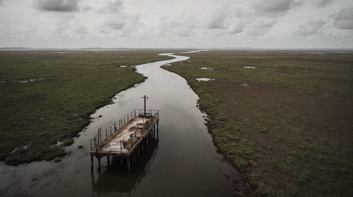
River deltas have attracted people for millennia thanks to fertile soils, fresh water, and rich food sources. Today these zones rank among the planet’s most crowded places, but the 236 million inhabitants confront a rising threat: coastal flooding is striking deltas harder than almost anywhere else, damaging roads, poisoning soils with salt, and eating away the land. While climate-driven sea level rise plays a part, a study released Wednesday in Nature shows many deltas are actually sinking faster than seas are climbing.
Mapping the Sinking
Researchers led by former Virginia Tech graduate student Leonard Ohenhen-now an assistant professor at the University of California, Irvine-built the first global map of vertical land motion across 40 major deltas. They tapped InSAR (Interferometric Synthetic Aperture Radar), a remote-sensing method that compares multiple radar snapshots to detect elevation changes down to millimeters.
The resulting high-resolution view spans five continents and 29 countries. Deltas subsiding fastest include:
- Mekong in southern Vietnam
- Nile in northern Egypt
- Chao Phraya in southern Thailand
- Ganges-Brahmaputra in eastern India
- Yellow River in northern China
- Mississippi River in the Gulf of Mexico
These regions host megacities such as Bangkok, Cairo, and Kolkata. Average drop: 4 mm per year, a pace that eclipses current global sea level rise estimates.
“This is a really fast rate,” said co-author and Virginia Tech geoscience professor Manoochecher Shirzaei. Over decades, a few millimeters annually compound into drastically higher flood odds, shoreline retreat, and saline soils.
Why Subsidence Beats Sea Rise
Both sinking land and rising seas amplify flood risk, yet the new data flip the script on which force dominates. “Sea level rise exacerbates the effect of land subsidence, not the other way around,” Shirzaei emphasized. For anyone crafting adaptation plans, he added, “this is the data you should look at, rather than projections of sea level rise to 2100.”
Local Causes, Local Cures
Unlike sea level rise-a planet-wide symptom of climate change-subsidence stems from regional human activities. Chief culprits include excessive groundwater pumping and underground mining. Because drivers are local, solutions can be, too. “We have very good engineering solutions for that,” Shirzaei noted. One proven tactic is managed aquifer recharge: pumping cleaned water back into depleted aquifers to restore underground volume and lift the land surface.
Communities that curb extraction and replenish aquifers can halt subsidence and, in some cases, regain lost elevation within years rather than decades.
Food Security Stakes
The issue stretches beyond homes and highways. “Billions of people rely on the food that is produced from these deltas,” Shirzaei told News Of Fort Worth. Rice, fish, and other staple crops flourish on delta plains; unchecked subsidence threatens harvests and freshwater fisheries alike.
Next Steps
Shirzaei and colleagues aim to tailor their satellite observations for city planners, water managers, and policymakers. Future work will factor in infrastructure differences-levees, seawalls, pumping stations-to refine risk estimates. The ultimate goal: a global land-deformation platform akin to Google Earth, updated continuously.
“This is possible,” Shirzaei said. “The satellite data that we use are publicly available data, we don’t pay for it, and we have the technology to process the data and turn them into such useful measurements at high precision and accuracy. The only thing we need is real investment.”
Open access will grow more crucial as climate change magnifies subsidence impacts along coastlines. “Having this data processed and made publicly available-I think that’s a right that everybody has,” he said.
Key Takeaways
- Sinking land, not rising seas, poses the bigger immediate flood threat to delta residents
- Satellite mapping pinpoints 4 mm-per-year subsidence hot spots on six major deltas
- Groundwater regulation and aquifer recharge can reverse the trend quickly
- Protecting deltas safeguards food supplies for billions worldwide