
At a Glance
- 43 million Americans are under cold alerts from the Midwest to the Northeast.
- Wind chills could plunge to 40-50°F below zero across the northern Plains this weekend.
- A sprawling winter storm may deliver heavy snow, sleet, and freezing rain Friday-Sunday.
Why it matters: Life-threatening cold and disruptive snow threaten power outages and travel paralysis across multiple regions.
A brutal Arctic surge has already gripped the nation, and forecasters warn the worst is yet to come. Tuesday morning, 43 million people from the Upper Midwest through the central Appalachians and into the Northeast were under cold weather alerts, with central Florida also included.
Wind chills across the Upper Midwest and Great Lakes registered 10-20°F below zero, while the interior Northeast and Ohio Valley felt 5-10°F below zero. Along the Interstate 95 corridor, including Washington and New York City, values dropped into the single digits.
High temperatures nationwide ran 15-25°F below average, and the chill will linger into Wednesday.
Philadelphia-area schools opened late Tuesday because of sub-freezing conditions.
Although the current outbreak is not record-setting, a sharper blast of Arctic air arrives late week. By the weekend, wind chills could reach 40-50°F below zero across the northern Plains and Upper Midwest, with record cold possible as far south as Texas.
Snow Continues Across Great Lakes
Fifteen million people remained under winter weather alerts Tuesday morning across the Great Lakes.
In Michigan, whiteout conditions triggered a 100-car pileup near Grand Rapids. Multiple tractor-trailers spun off the road, pushing cars into embankments and causing numerous injuries.
Two snow zones are active:
- Persistent lake-effect snow across traditional snow-belt areas
- A fast-moving clipper through the Upper Midwest
Snowfall will generally be light:
- Minneapolis, Madison, and Chicago: <1 inch
- Tug Hill Plateau, New York: extra 2-4 feet through Wednesday
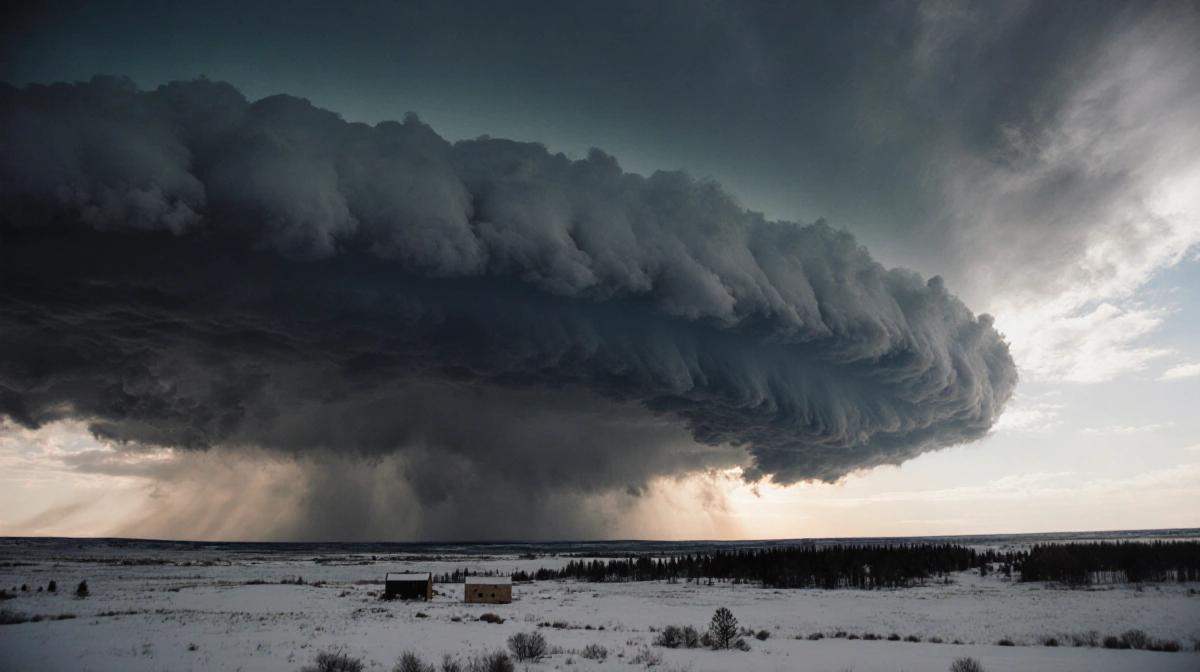
Weekend Winter Storm Taking Shape
An expansive storm system is forecast to develop Friday and sweep from the central Plains to the East Coast through Sunday.
Early predictions call for:
- Widespread heavy snow
- Sleet and freezing rain capable of knocking out power
- Life-threatening travel conditions
While exact rain, snow, and ice boundaries remain uncertain, confidence is growing for high-impact accumulations and prolonged cold.
Timeline
| Day | Primary Impacts |
|---|---|
| Friday | Snowstorms over the Rockies and central Plains; ice across northern Texas and southern Arkansas |
| Saturday | Snow spreads into the central Plains, Mississippi and Tennessee valleys, and North Carolina; wintry mix/ice from central Texas to the Southeast and South Carolina |
| Sunday | Snow across the Midwest, Ohio Valley, and mid-Atlantic, possibly reaching the Northeast; wintry mix continues in the Carolinas and Southeast |
Pet Hazards in Bitter Cold
Veterinary medicine expert Dr. Steven Marks warns owners to watch for:
- Antifreeze poisoning
- Pets on frozen bodies of water
Key Takeaways
- Dress in layers, limit outdoor exposure, and check on vulnerable neighbors as wind chills approach -50°F.
- Postpone non-essential travel Friday-Sunday as heavy snow and ice may cause widespread outages.
- Monitor local forecasts; small track shifts will dramatically change snow versus ice totals.