- Arctic air mass heading for North Texas, with freezing rain, sleet, and snow expected Friday night into Monday.
- Temperatures will drop into the 20s, with lows in the teens by Sunday and Monday mornings.
- Roads and travel could be severely impacted; stay updated and prepare early.
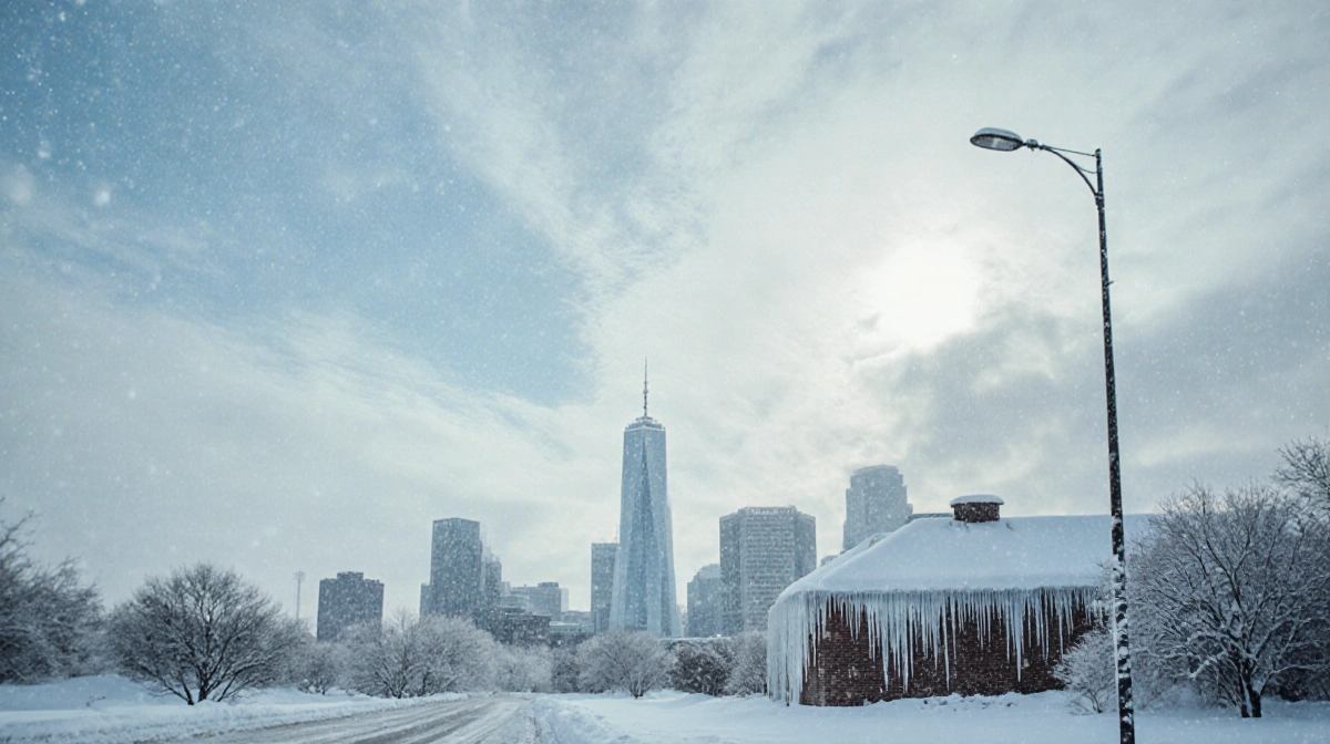
An Arctic air mass is set to arrive in North Texas later this week, bringing a mix of cold rain, freezing rain, sleet, and snow that could last into Sunday morning. The storm, which is expected to hit Friday night and linger through Monday, may bring temperatures down into the 20s and even the teens, raising concerns for road safety and power lines. Residents are urged to monitor forecasts and begin preparations now.
Forecast Overview
The National Weather Service has outlined a progression that begins with cold rain on Friday, turning to a wintry mix by nightfall. The precipitation will persist through Saturday, with temperatures remaining in the 20s. Sunday will see the mix continue, dropping into the teens, and Monday will maintain the same pattern.
- Friday – Cold rain starts, transitioning to a wintry mix by night; temperatures in the 20s.
- Saturday – Wintry mix continues; lows remain in the 20s.
- Sunday – Wintry mix persists; temperatures fall into the teens.
- Monday – Wintry mix remains; lows in the teens.
Expert Commentary
Caleb R. Anderson reported that the storm could bring freezing rain, sleet, and snow across North Texas.
- “I don’t know how people are going to deal with it,” said Ryan Maue, former chief scientist at NOAA.
- “If you get a half of an inch of ice – or heaven forbid an inch of ice – that could be catastrophic,” said Keith Avery, CEO of Newberry Electric Cooperative.
- “This is extreme, even for this being the peak of winter,” said National Weather Service meteorologist Bryan Jackson.
- “It’s going to be a very difficult forecast,” said Sam Shamburger, NWS forecaster.
Impact on Roads and Travel
The storm’s combination of ice and low temperatures could create treacherous driving conditions. In Michigan, more than 100 vehicles crashed on an interstate southwest of Grand Rapids on Monday, illustrating the danger of slick roads. Power lines may sag under the weight of ice, potentially leading to outages. Airports in Dallas, Atlanta, Memphis, and Charlotte are also preparing for possible delays.
Winterizing Your Home
Preparation begins long before the first drop of snow. Here are practical steps for North Texas residents:
- Replace worn weatherstripping on doors and windows to keep warm air inside.
- Check gutters for clogs to avoid water damage.
- Trim trees away from power lines, homes, and cars.
- Insulate attic and crawlspaces to reduce heat loss.
Protecting Pipes
Cold snaps can freeze outdoor faucets and exposed pipes. Insulate valves, leave indoor faucets dripping overnight, and consider using foam covers for external faucets. If you’re away, open cabinet doors to expose pipes to ambient heat.
Pets, Plants, and Sprinklers
- Keep pets indoors or provide insulated shelters.
- Move potted plants inside or cover outdoor plants with frost blankets.
- Turn off irrigation systems to prevent frozen pipes and water damage.
HVAC and Pools
- Change or clean air filters quarterly.
- Inspect ductwork for holes.
- Check pool pumps and pipes for movement; frozen pipes can burst.
Batteries and Electronics
Maintain fresh batteries in flashlights and detectors. Charge phones fully and consider a portable charger for emergencies.
Key Takeaways
- The Arctic air mass will arrive Friday, bringing a wintry mix that can last through Monday.
- Temperatures will dip into the 20s and teens, posing risks to roads, power lines, and travel.
- Residents should winterize homes, protect pipes, and prepare for potential power outages.
- Stay informed with local forecasts and heed warnings from the National Weather Service.
For the latest updates, monitor local news and official weather channels.