
Weather Outlook
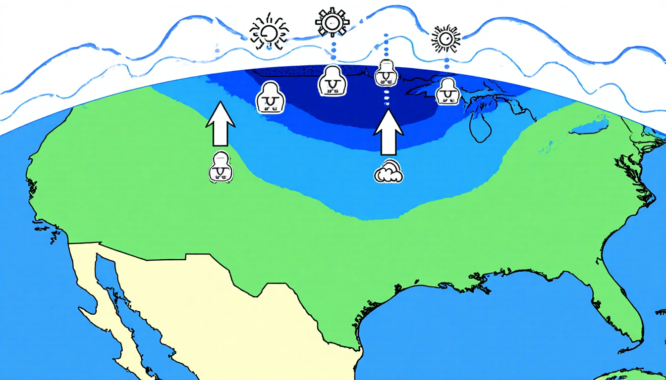
A ridge of high pressure dominates North Texas, keeping temperatures well above the normal range for this time of year. The majority of the United States is experiencing pleasant to mild weather, which aligns with the high-pressure pattern.
Temperature Details
Afternoon temperatures are projected to climb into the upper 70s to lower 80s as the day progresses. The warmest Christmas Day on record in the region occurred in 2021, when the high reached 82 degrees. For 2025, forecasters expect a high of 79 degrees, accompanied by mostly sunny skies.
Wind Conditions
A breezy southerly wind, ranging from 10 to 15 miles per hour with occasional higher gusts, will accompany the warm temperatures. This wind pattern is typical for the ridge-driven high-pressure system that is currently in place.
Record Highs at Risk
Because of the prevailing high-pressure setup, record highs for the Dallas-Fort Worth area are in jeopardy for Friday and Saturday. The forecast does not indicate any significant temperature drop that would allow record temperatures to be set.
Snowfall History
The Dallas-Fort Worth area has a 0% chance of a white Christmas this year. Even though the probability is low, historical records show that snow has occasionally fallen on Christmas Day in the past.
Significant Christmas Snowfall Events
The National Weather Service in Fort Worth has compiled a list of notable Christmas snowfall events:
- 2012 – Early-morning thunderstorms gave way to snow and sleet. Heavy snow, 4-6 inches, fell in western Denton County and Collin County, with isolated 4-6-inch accumulations in Parker, Grayson, Fannin, Hunt, and Rains counties.
- 2009 – Snow remained on the ground from the Christmas Eve storm.
- 2000 – Nearly 2 inches of rainfall fell during the evening, with temperatures from 32°F to 34°F and some minor freezing rain. Severe freezing rain occurred north and northeast of the Metroplex.
- 1997 – Flurries mixed with rain in the evening; the next morning a blanket of up to ½ inch of snow covered portions of the Metroplex.
- 1975 – 0.4 inches of snow fell, marking the first almost-white Christmas in nearly 50 years.
- 1974 – A trace of sleet was reported.
- 1963 – No snow remained from a 2-inch snowfall on December 22.
- 1926 – 2 inches of snow fell in Fort Worth, melting by afternoon; Dallas received 6.3 inches.
- 1914 – A trace of snow recorded with a few brief flurries.
- 1879 – One inch of sleet and snow on the ground; the snow and sleet were so compacted that a horse’s hoof did not leave an imprint.
- 1841 – Three soldiers from a nearby fort were tracking a bear in 6 inches of snow near what is now White Rock Lake.
Travel Advice
Travelers should note that no significant travel problems are expected across the Dallas-Fort Worth region for the Christmas holiday. However, weather issues could cause delays and cancellations on the West and East Coasts. Volume delays remain possible at major hubs such as Dallas-Fort Worth, Atlanta-Jackson Hartsfield, Chicago-O’Hare, Denver, Los Angeles, and New York-JFK.
Practical Tips
- Arrive early for flights and allow extra time for security and boarding.
- Pack a lot of patience; delays can extend travel times.
- If driving, obey speed limits and take your time to avoid accidents.
- Keep an eye on local weather updates to stay informed about any changes.
Key Takeaways
- Christmas 2025 is forecasted to be one of the warmest in DFW history, with highs in the upper 70s to lower 80s.
- A 0% chance of a white Christmas is expected for the Dallas-Fort Worth area.
- Historical snowfall events show that snow has occasionally fallen on Christmas Day, though such events are rare.
Closing
As the holiday season approaches, residents and visitors in North Texas can look forward to a pleasant, mostly sunny Christmas. While the chance of snow is nil, the warm temperatures and breezy southerly winds promise a comfortable day for holiday celebrations. Have a Merry Christmas, North Texas!