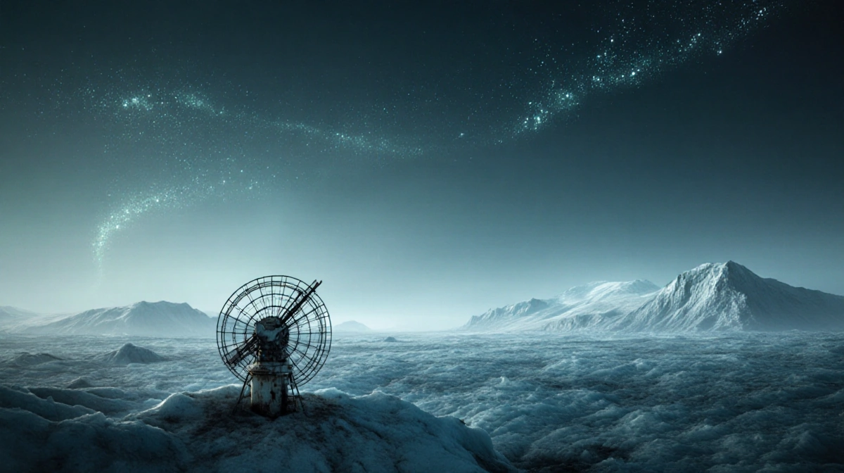
Scientists have unveiled the most detailed map yet of Antarctica’s hidden subglacial landscape, revealing tens of thousands of previously unknown hills and ridges beneath the continent’s thick ice sheet.
At a Glance
- New map reveals Antarctica’s buried topography with unprecedented clarity
- Researchers discovered tens of thousands of unknown hills and ridges
- Satellite data combined with glacier physics created the detailed view
- Why it matters: Understanding these hidden features helps predict how Antarctic ice will respond to climate change and affect global sea levels
The breakthrough comes from a research team that combined high-resolution satellite observations of Antarctica’s ice surface with mathematical models of how glaciers move across the continent. Their findings, published this week in Science, provide the clearest picture yet of what lies beneath Antarctica’s frozen surface.
Mapping the Unknown
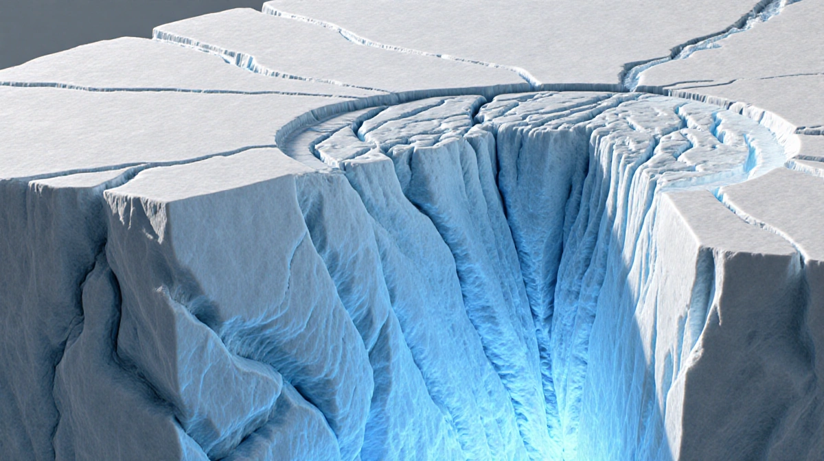
Around 90% of Antarctica’s surface is covered by an inland ice sheet reaching up to 3 miles (4.8 kilometers) thick. This massive ice sheet contains approximately 90% of the world’s fresh water and is so heavy that it has pushed portions of Antarctica’s land below sea level.
Despite extensive study of Antarctica’s surface, its subglacial landscape has remained largely mysterious. The researchers note that scientists may actually know more about Mars’ terrain than Antarctica’s hidden landscape.
Previous efforts to peer through the ice relied on radar equipment either:
- Towed across the surface by snowmobiles
- Flown on airplanes along predetermined survey tracks
These methods left significant gaps in coverage between survey lines, creating an incomplete picture of the continent’s buried topography.
Breakthrough Discovery
The new approach using satellite data and glacier physics revealed remarkable details about Antarctica’s hidden world. The research team discovered:
- Tens of thousands of previously unknown hills and ridges
- Enhanced detail of existing mountains and canyons
- Features that had remained unclear in previous surveys
This represents a major advancement in Antarctic exploration, bringing what was once a blurry world into sharp focus.
Climate Implications
The detailed topographic map serves a crucial purpose beyond pure discovery. The researchers believe this new understanding of Antarctica’s subglacial landscape can help predict how the continent’s glaciers will respond to climate change.
By understanding how ice moves across these hidden features, scientists can better model:
- Ice flow patterns
- Glacier stability
- Potential contributions to sea level rise
However, the researchers emphasize that their findings are based on assumptions about ice flow behavior. Additional observations are needed to refine the precision of their data.
Future Research Directions
The research team views their landscape classification and topographic map as a guide for future Antarctic studies. Their work will inform:
- Target locations for detailed geophysical surveys
- Required survey extents and resolutions
- Flight-track spacing needed for comprehensive coverage
- Specifications for capturing fine details essential for ice flow modeling
As News Of Fort Worth reported, this rare glimpse beneath Antarctica’s ice represents a significant step forward in understanding the frozen continent’s hidden geography and its potential role in Earth’s changing climate system.